709-218-7927 The Landfall Garden House 60 Canon Bayley Road CANADA A0C 1B0 |
|
|---|
.JPG)
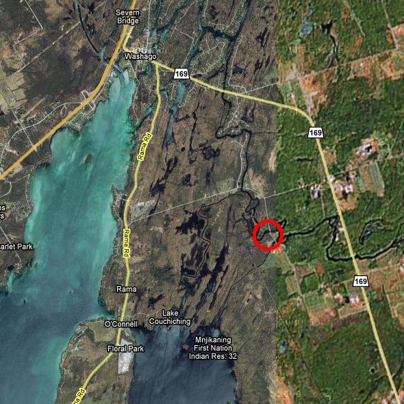
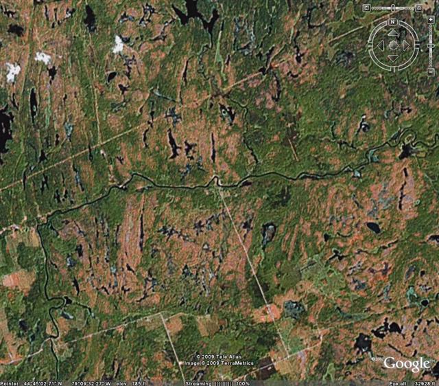
Coopers Falls
Coopers Falls is on one of the “Black River”s of Ontario .
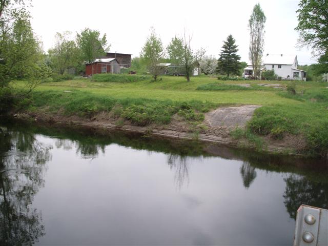
There appears to be a launch at a bridge on an un-named road running south off Switch road out of Washago.
Why do I think it might be a good spot? There are two cars parked near the bridge. Of course, maybe they are fishing from a height, and there is no shallow bank here.
There appear to be two launch spots further upstream, each about 2 kilometers out of Coopers Falls, and further away from cottages.
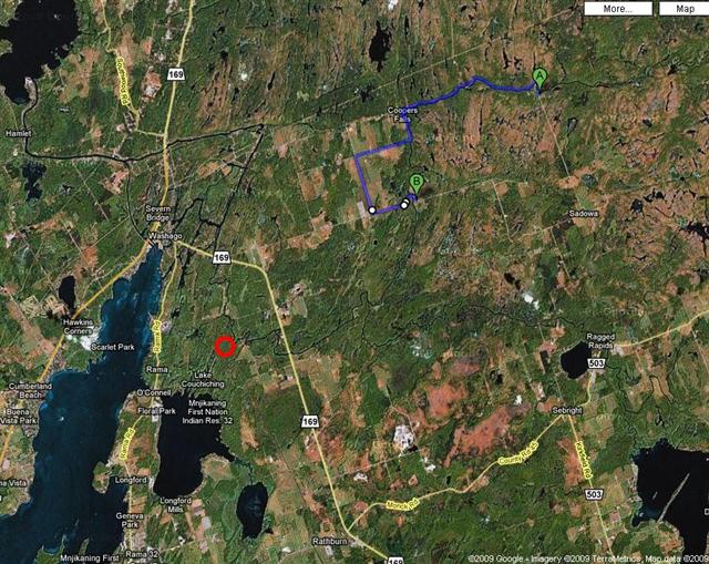
Google Directions between both spots.
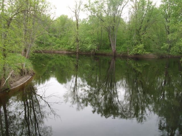
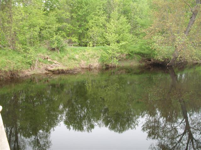
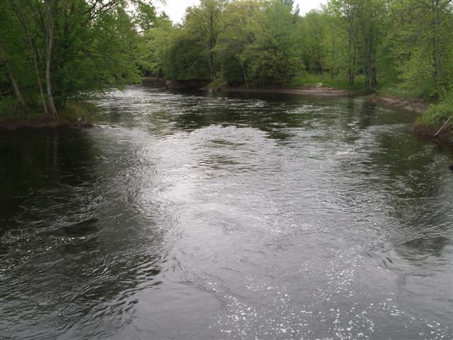
The river at these two spots appears to be tree-lined and quiet:
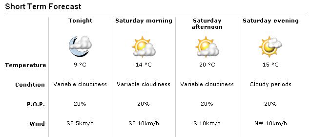
Below is the weather forecast at 9 p.m. Friday for the city of Orillia.
Below is a road-map of the area,
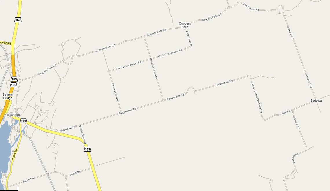
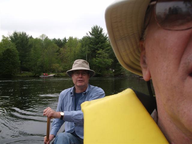
We take highway 11 North, and exit where it tells us to exit for highway 169 and Washago, just a mile or so south of Severn Bridge. On our way to investigate our first launch spot we cross over a bridge and spot a canoeist in the water. We didn’t return to this spot, but noted it for future investigation.
Here is a shot from a bridge on Switch Road at Davy Drive. The banks are steep and the launch spots are not many.
Another shot from the bridge on Switch Road at Davy Drive, looking towards a small tributary creek.
Another shot from the bridge on Switch Road at Davy Drive.
A final shot from the bridge on Switch Road at Davy Drive.
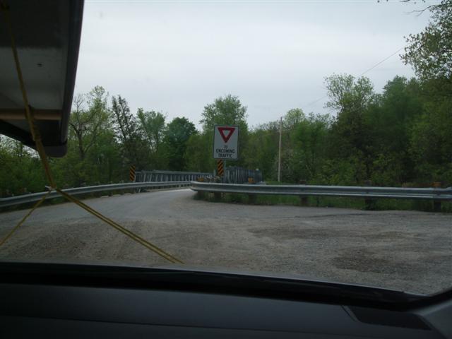
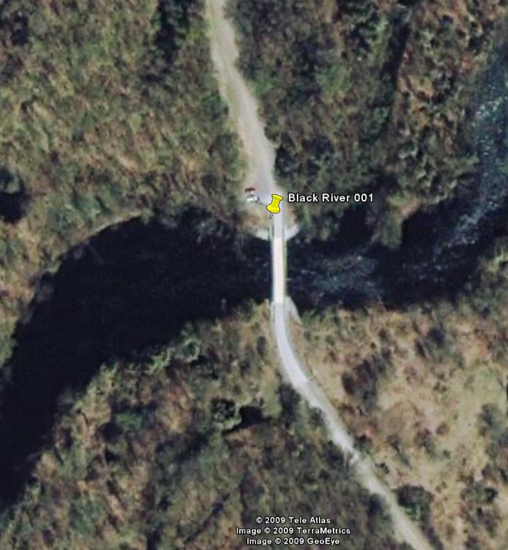
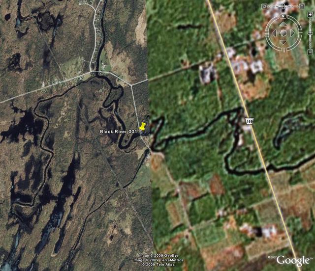
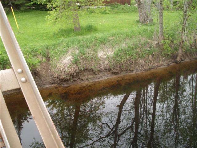
We approach the bridge on the unnamed road that leads south from Switch Road. Marked as “Black River 001”
A first view from the bridge. The currents are too strong for us. We dream of paddling up-current, then drifting back, but chances are strong that if we put in here we would be swept downstream faster than we could paddle, with no hope of getting back.
We explored several other spots, starting with ”Black River 007” and including “Black River 008” and “Black River 009”, all of which demonstrated a swift-flowing river.
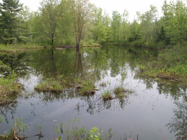
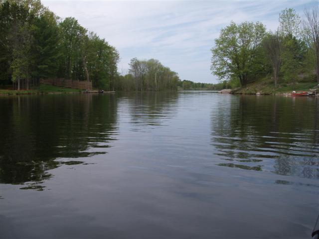
We continue north up county road 169, heading back towards Washago, and decide to check out “Black River 004” off West River Road. We park and are greeted with a calm pond-like body of water.
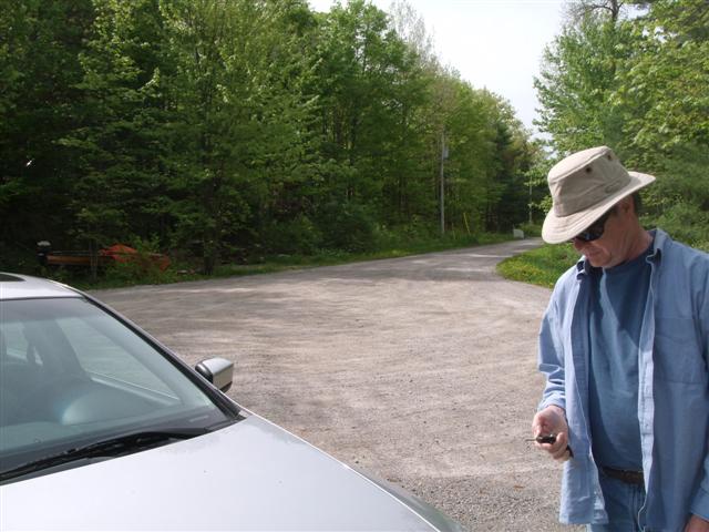
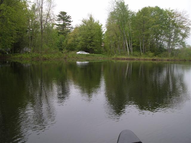
Here’s the view looking back along West River Road. Parking is available.
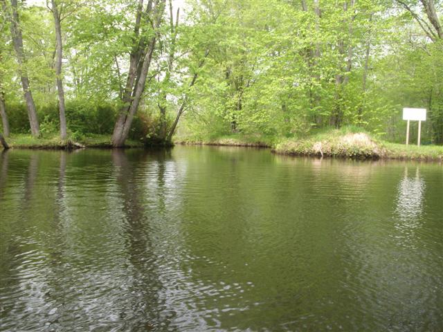
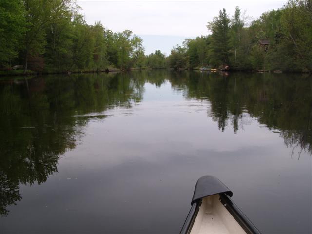
We put in the canoe and discover that we have been in a small lagoon that leads us into the Black River. Above you can see a view taken looking back at the lagoon’s doorway into the river. The large white sign makes a good marker for us.
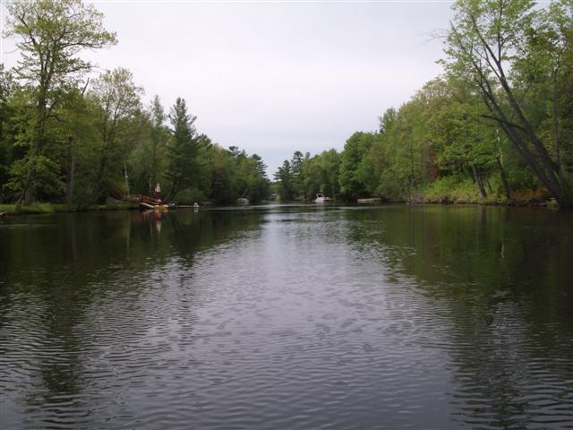
Here is a view downstream, looks good …
… and here we are heading straight back to the car to get our coats; the weather had turned a tad chilly out on the river.
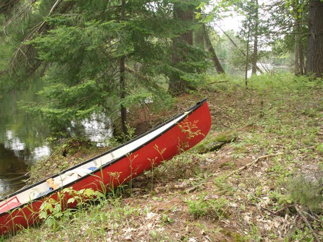
Back out to the river!
We spot several beds of trillium, both white and a pinkish-lavender.
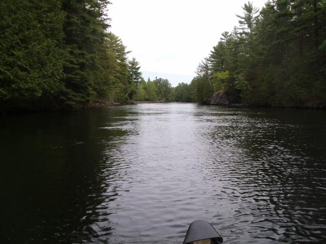
We head upstream under the county road 169 bridge, through a rapid stretch between two rock outcrops, until we spot what appear to be small rapids. We head back downstream.
Paddling down with a serious current is good fun!
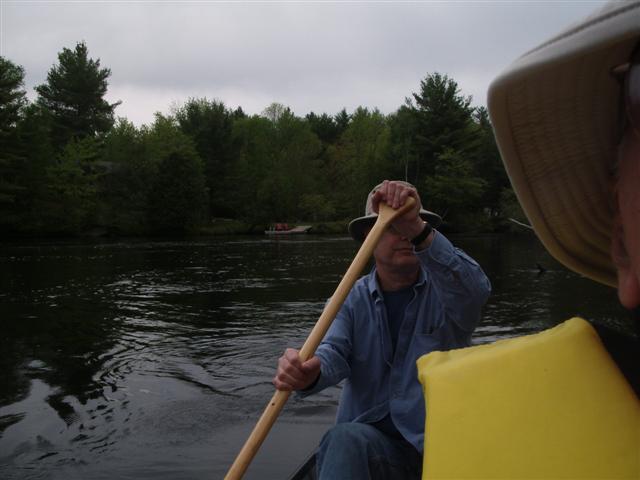
Paddling down with a serious current is still good fun!
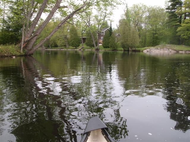
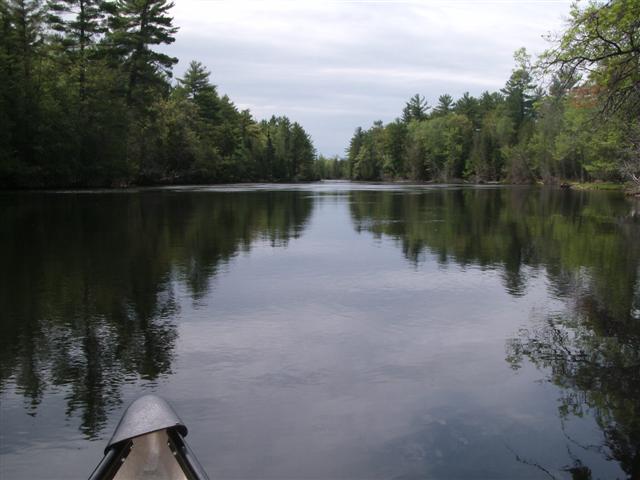
Going past our launch spot we enter a calm stretch of river. This is for us!
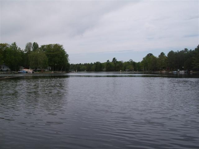
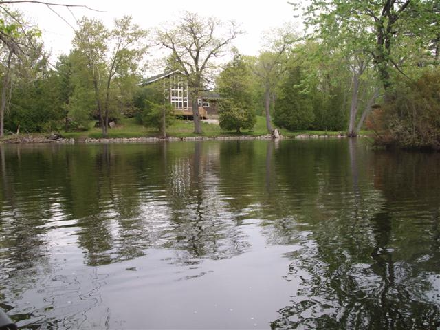
Cottages line the bank for about half a mile, then we find ourselves in a tree-lined stretch. Later investigation of maps shows that the cottages line lagoons; see for example “Riverdale Drive”
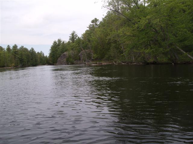
Large rocks outcrops line the banks.

Here’s a closer view of the rock from the previous shot.
In retrospect we learned something: Where the rocks appear, the river bed is constrained horizontally and vertically , and in consequence the current is swift. We pass through easily, but on our return trip we found the going tough, because the two-mile trip back was peppered with very swift sections of about one hundred yards each, but each hundred yards represented an almost impassable (for us) stretch of current.
Nonetheless, the area is quiet. We heard much bird song, and not a lot of chain-sawing.
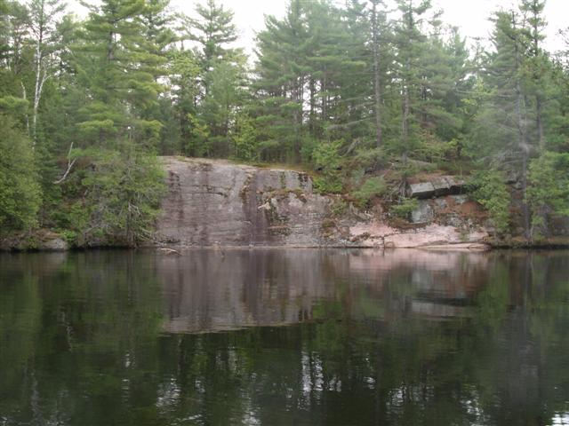
The rock faces are impressive.
We beached for lunch, but were quickly driven back into the river by the mosquitoes. The view here is up-stream.
The calm stretches are delightful. A few cottages dot the shore.
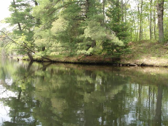
The banks are sunlit glades.
Here we are starting on the trip back upstream. That corrugated area on the river is a combination of wind ripples and water boiling over the rocky bed.
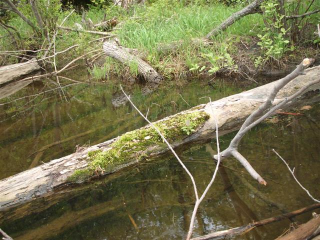
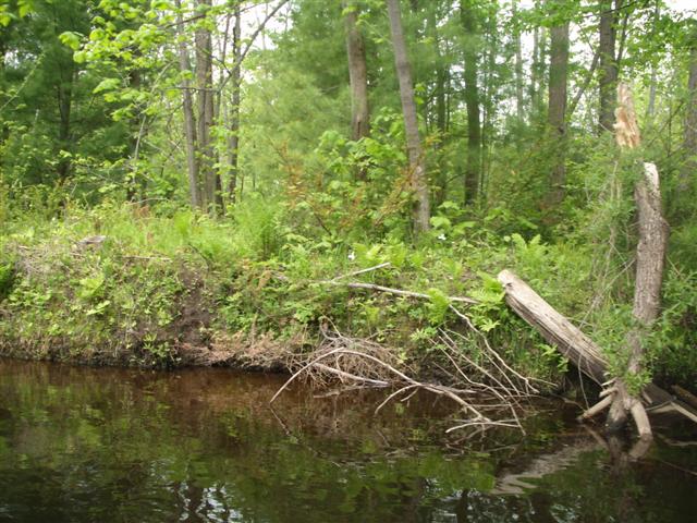
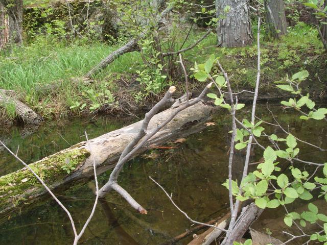
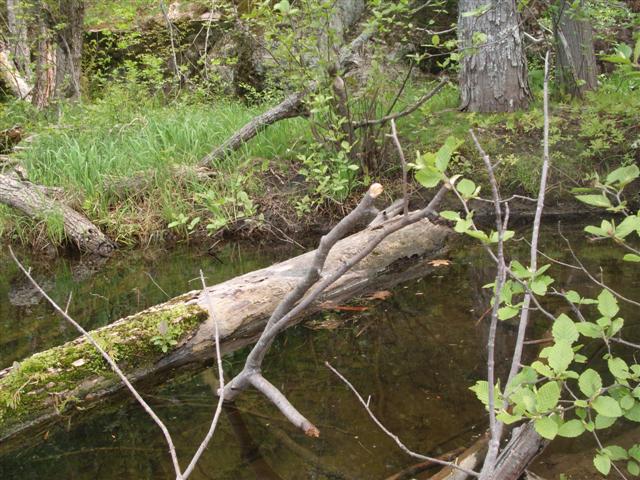
We pulled up for minor adjustments and I tried to capture a good shot of a cedar bush growing from a rotting log that itself lay in the river.
A good day! Would we paddle here again? Yes, preferably when the current has dropped a little.
709 218 7927 CPRGreaves@gmail.com Bonavista, Friday, December 04, 2020 6:56 PM Copyright © 1996-2020 Chris Greaves. All Rights Reserved. |
|---|